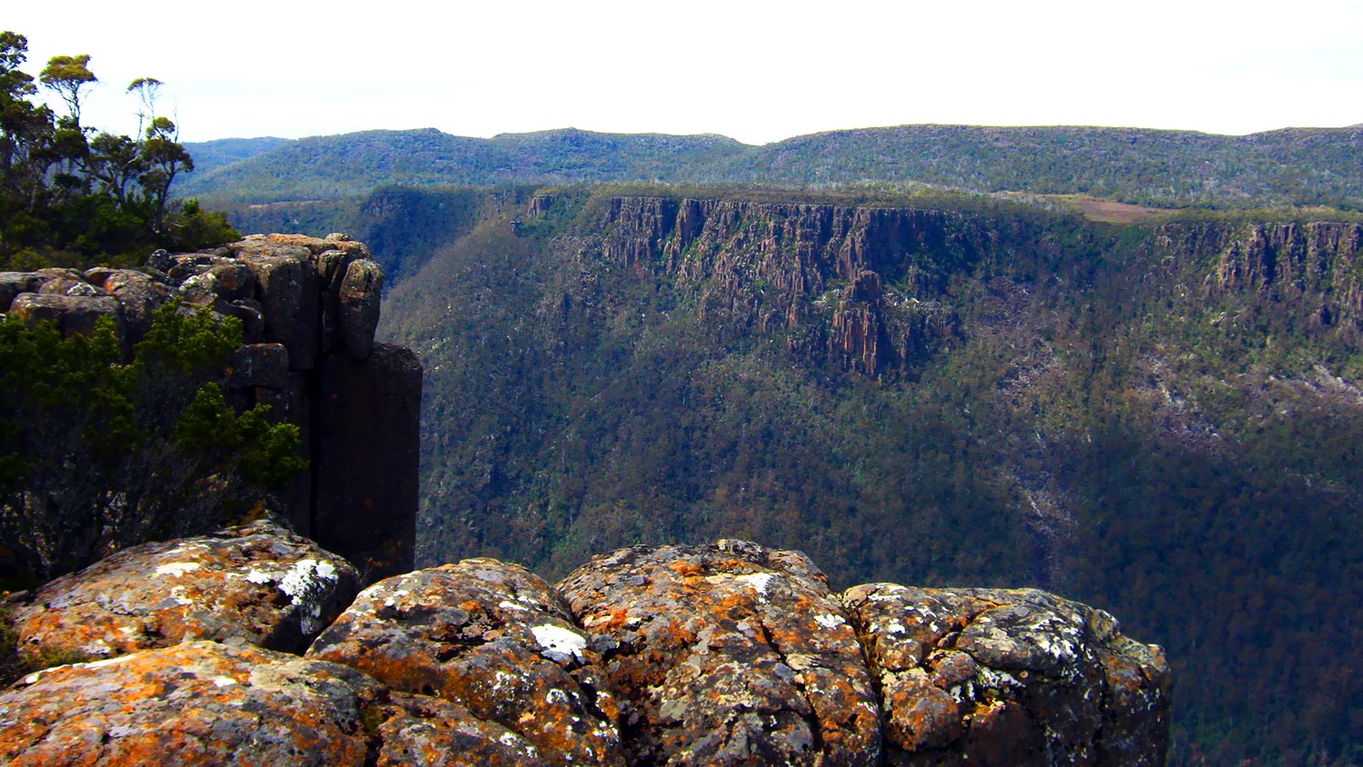
Devil’s Gullett features dramatic views into a steep, narrow glacial gorge formed by vertical dolerite cliffs 220m high, topped by alpine forest. This landscape has been evolving for about 200 million years, since long before Tasmania broke away from the great southern landmass called Gondwana.
A short alpine walk (about 30 minutes return) to a stunning lookout platform overhanging the sheer cliff face, with views to Mount Ossa, Cradle Mountain and other features across the huge chasm of the Fisher River valley.
This is a simply awesome experience on a windy day, when the dolerite cliffs channel south westerly winds up into the gullet.
From the lookout, visitors can see the entire Cradle Mountain-Lake St Clair World heritage Area from side on, Tasmania’s highest point, Mt Ossa (1617m), the Fisher and Mersey river valleys, Walls of Jerusalem and several other major peaks and valleys.
There are no visitor facilities at this site.
How to get there
How to Get There : Take the 812 (C38) west from Mole Creek, past Marakoopa and King Solomons Caves, then Mersey Forest Road for a very short distance, turning left at the signposted road to Devil’s Gullet and Lake Mackenzie. There is about 14 km of good gravel road – but it’s worth it! About 35 minutes drive from Mole Creek.

